February 22, 2017 | Burton Chase Park, Marina del Rey
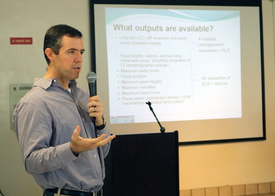
USC Sea Grant hosted a workshop on February 22, 2017 to review final coastal hazard modeling results from the Coastal Storm Modeling System 3.0 (CoSMoS) prepared by the U.S. Geological Survey. The model downscales to regional and local levels how future conditions will affect the California coast, displaying potential hazards from coastal storm flooding, shoreline change, and cliff retreat. This information allows communities to identify both current and projected vulnerabilities to a suite of coastal storms, in combination with sea level rise.
Results from the CoSMoS model are publicly accessible using the online tool Our Coast Our Future (OCOF), developed by Point Blue Conservation Science. Final results are now available for Los Angeles and San Diego Counties, with all of Southern California available this spring. USC Sea Grant and other regional specialists are building capacity to help coastal communities utilize this essential tool in planning for changing coastlines.
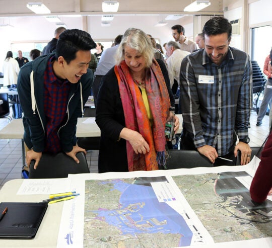
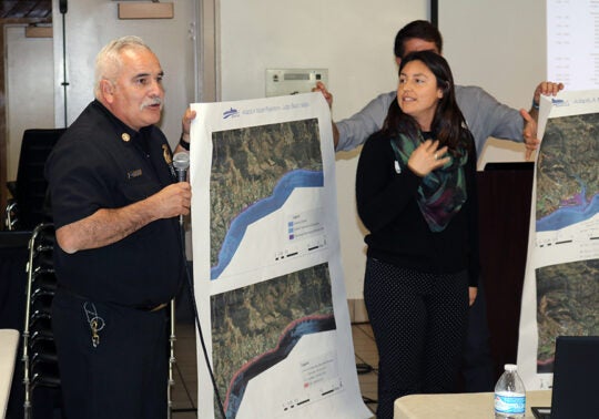
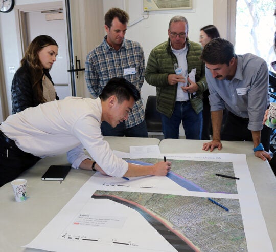
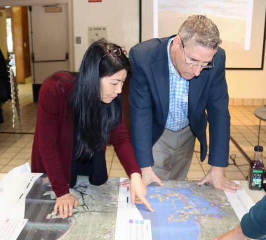
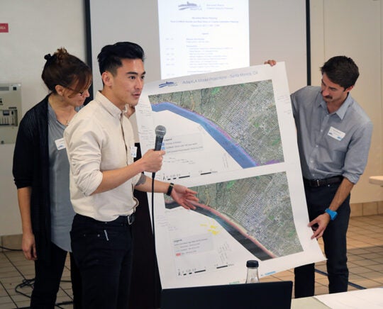
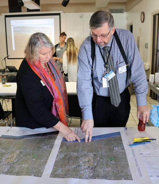
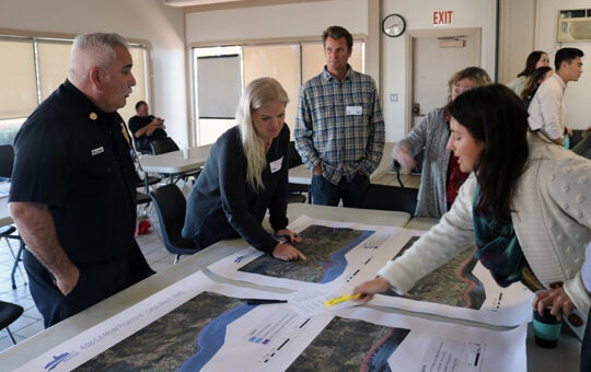
CoSMos results include 40 combinations of sea level rise and storm scenarios to visualize flooding extent, depth, duration, and elevation, waves, currents, shoreline change, cliff erosion, and uncertainty. Workshop participants reviewed these results in combination with modeling results from Environmental Science Associates (ESA) and TerraCosta Consulting Group. Together, these models provide the current best available science for communities to use in adaptation planning efforts.
A main goal of the workshop was to provide the technical tools, resources, and contacts to help move adaption planning forward. Looking through a regional lens, it is important to identify opportunities to collaborate across jurisdictions.
This event is part of a series of workshops, webinars, technical assistance, and other outreach led by USC Sea Grant as part of the Regional AdaptLA project for Southern California. AdaptLA is a regional grant funded by California Ocean Protection Council and California Coastal Conservancy, and managed by the City of Santa Monica.
Workshop Photos