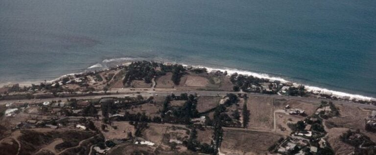
Image of the Malibu coastline in July of 1984, included in Orville’s collection.
Through the Lens of Orville Magoon
The technological resources used to study our coastlines have expanded vastly in the past few decades with the use of LiDAR surveys, detailed geo-referenced data, stereoscopic aerial photographs, and Structure-from-Motion, to name a few. These new advances will greatly assist the acquisition and analysis of current and future coastal conditions; however, they have limited ability to provide historic data and often lack personal connections to the coast. By accompanying historical photos of the coast with personal stories, this addition will help provide further context for coastal management in a changing climate.
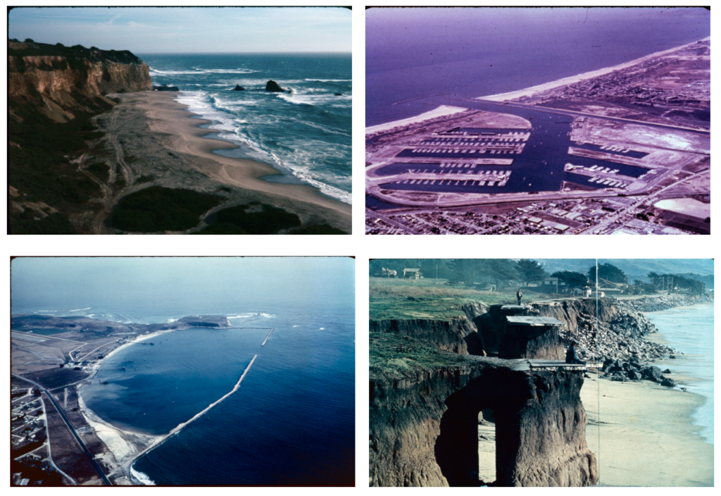
A few years ago, the California Shore & Beach Preservation Association (CSBPA) had the opportunity to acquire over 4,000 slides (site photos) collected and/or taken by Orville Magoon during his broad coastal career. The slides, spanning from 1960 to 2001, depict areas of the California coast from a time prior to the proliferation of digital content. As part of the Slide Project, Through the Lens of Orville Magoon, the slides were scanned to digital images and tagged with their general geographic location. These slides are now available to access through a recently created interactive web map. Within this interactive map, several of the locations are accompanied by short stories from people who are familiar with the location or images.
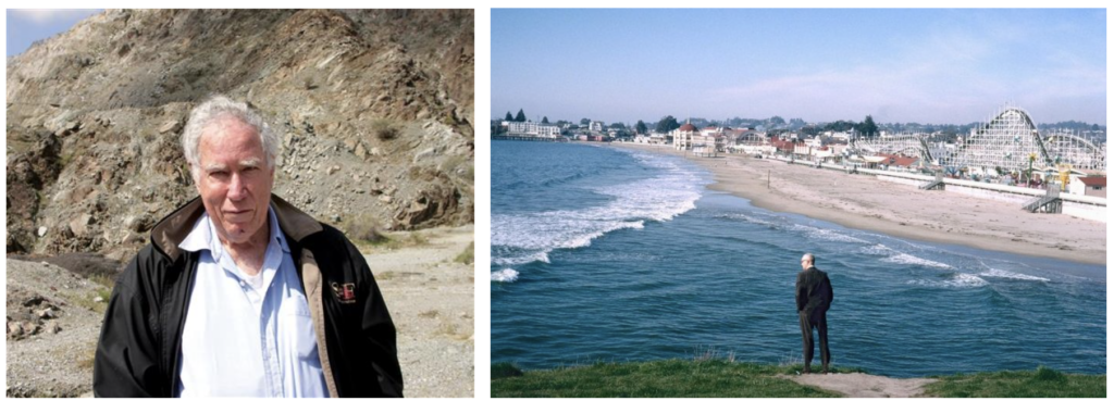
For those who do not know Orville Magoon, he was a strong and vocal advocate for the coast throughout most of his life. Growing up in Hawaii, the coast was always part of his life. He went to the beach to watch the 1946 tsunami, known now as the most destructive tsunami in Hawaii’s modern history, and had to climb a palm tree to avoid being swept away by the waves. That experience typified his approach to the coast — wanting to see what was happening, to observe it, and to apply his education as a coastal engineer to deduce the important aspects of coastal change and develop engineering options for ongoing coastal problems. Orville recognized that engineering solutions were just one part of the coast and he was a strong supporter of sand rights, coastal management, and bringing multiple disciplines to coastal situations. Orville was the president of ASBPA from 1983 to 1994, started the Coastal Zone Foundation, and helped organize numerous Coastal Zone Management Conferences and conferences on many other coastal topics. Due to his broad efforts to protect the coast, his photo collection provides an important perspective on the coast.
His photo collection, along with stories, is now available to access using the online Story Map. The stories provide a unique perspective and historical documentation of coastal areas and important engineering projects. However, the real power of this collection is that it allows others to contribute their own stories — ranging from the technical analyses of shoreline change and what the area used to be like before construction, to why this area is an important example of coastal engineering today. We hope this introduction to Through the Lens of Orville Magoon will inspire folks to visit the website, explore the images, and use them for analysis and planning efforts.
Orville Magoon Story Map

Visit the story map above to observe Orville’s photo collection and associated stories. Further, we invite you to contribute your own stories of the changing coastline by submitting new stories and photos to add to this growing collection.