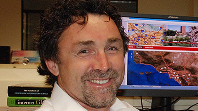
USC spatial scientist John Wilson discusses the benefits of more trees in the urban core, the differences between Beverly Hills and Boyle Heights, and how trees will shape L.A.’s future.
USC Dornsife News
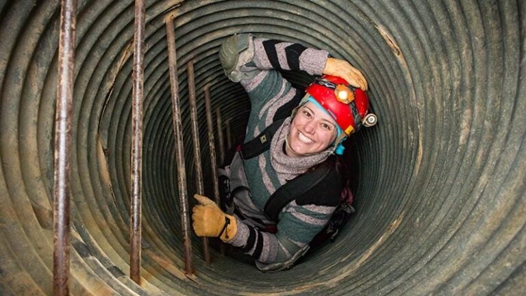
Alumna Laura Loyola, now with USC Dornsife’s Spatial Sciences Institute, is using geographic information science to help preserve the habitat of the critically endangered Tana River colobus monkey. [5 ¼ min read]
Graduate student Kelly Wright is using her online training in geographic information science and technology (GIST) to fight tungiasis, a painful, debilitating and disfiguring disease that negatively affects the lives of millions of the world’s poorest inhabitants.
Administered by USC Dornsife and USC Viterbi, the degree uses engineering, computer science, math and spatial sciences principles to prepare its graduates to solve today’s information challenges.
West Point professor and decorated U.S. Army commander will teach geospatial intelligence and other geographic information science and technology courses beginning this Fall.
USC Dornsife’s Spatial Sciences Institute expands its Geographic Information Science and Technology (GIST) program with the launch of two new online graduate certificates.
John Wilson, director of the Spatial Sciences Institute at USC Dornsife, has been selected as a 2014 Fellow by The University Consortium for Geographic Information Science.
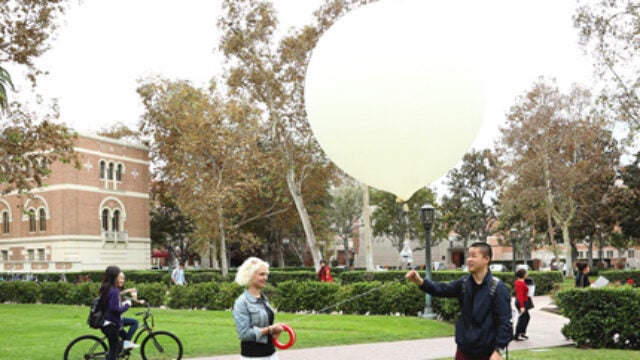
Students from USC Dornsife’s Spatial Sciences Institute (SSI) launch an aerial camera attached to a helium-filled weather balloon to photograph the USC University Park campus and raise awareness about the institute’s new undergraduate degree in GeoDesign.
In a course taught by Edward Pultar of USC Dornsife's Spatial Sciences Institute, students learn to develop apps that help solve real-world problems.
- 1
- 2
Contact USC Dornsife News
Media Inquiries
Contact Ileana Wachtel


