USC Dornsife students chart out unknown territory to help rescue efforts
When an earthquake hit Haiti in 2010, people around the globe were horrified by the death and devastation that came in its wake. But a global response to the disaster quickly took shape among Haitians, Haitian emigres and others around the world who sought ways to transform their knowledge of the country into concrete information that could help guide rescue efforts.
Many turned to OpenStreetMap (OSM), a site where volunteers use satellite data and other images to create maps of previously uncharted areas. By delineating landscape markers, such as rivers, roads and buildings, the maps can help guide humanitarian organizations seeking to find drop-off points for medicines or entry routes to endangered areas.
Soon after the earthquake in Haiti, an offshoot of OSM called Humanitarian OpenStreetMap Team (HOTOSM), focusing on humanitarian mapping, was born. And this year, for the fourth year in a row, a group of USC students joined students from UCLA in a round-the-clock “mapathon” to contribute mapping entries to HOTOSM within two days.
“In spatial sciences, we utilize data that contain location information to support decision-makers, such as humanitarian relief workers, in making real-time assessment of conditions and then taking action,” said Susan Kamei, managing director of the Spatial Sciences Institute at the USC Dornsife College of Letters, Arts and Sciences.
A friendly competition
The schools’ joint mapathon was established by USC Libraries Visualization Specialist Andrzej Rutkowski, who suggested to some former colleagues at UCLA that they host a friendly competition to introduce students and others to the concept of humanitarian mapping. With no advance knowledge of geodesign or spatial sciences necessary, all students, faculty and staff at each school would be welcome to participate. According to Rutkowski, this year, more than 200 people from USC signed up for the challenge.
“It’s connecting people with a community and seeing that by doing something relatively simple, like outlining buildings, you can have an impact on and can connect with people all over the world,” Rutkowski said.
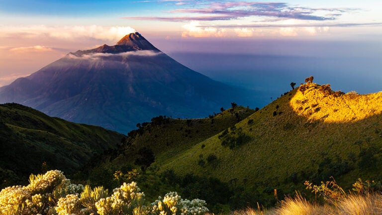
For each mapathon, Rutkowski and his colleagues at USC and UCLA select a project or group of projects on which to focus the event (this year it was Indonesia), and each project is then broken up into individual tasks that participants can choose to work on.
Participants select a square of satellite imagery and then, using tools developed by HOTOSM, identify and trace the outlines of landscape features in that square. These GIS data are then uploaded to the HOTOSM database, with a hashtag identifying which school the mapper is from as a way of keeping score. Once uploaded, a reviewer — a volunteer with more mapping experience and some self-training — checks the entry to make sure it’s correct before the data are entered into the HOTOSM database. All of the work can be done at home with just a laptop and internet connection.
Charmaine Dalisay, a senior majoring in geodesign who participated in the mapathon this year, said she joined because she enjoys being able to see how her studies might translate into a future career.
“I wanted to get an opportunity to apply what I learned in my classes to an actual real-life situation. I’m interested in sustainability, and I hope to combine these technical skills like these with environmental policies to revamp our cities,” she said.
Initially the mapathon drew upon the two schools’ football rivalry to make the event more competitive, but this year organizers decided to focus on their combined efforts, according to Rutkowski. Currently, UCLA and USC have mapped 24,509 buildings between them, the largest number of any mapathon to date.
“Each year the total number of entries made by the USC and UCLA students has ranked our mapathon as among the largest mapathon contributors to HOTOSM,” Kamei said.
Humanitarian mapping
According to HOTOSM, there are about 2 billion people in the world who do not appear on a map. With a global rise in the severity and frequency of natural disasters, being able to locate them will be essential to saving lives after disasters. Several students participating in the mapathon said they were drawn to it by its humanitarian aspects.
“It makes me feel like I can really contribute to the real problems in the world, to help people in other places, especially developing countries,” Jasmine Wu, a senior geodesign major and a three-time mapathon participant, said.
Seher Randhawa, a senior with a major in business administration and a minor in spatial studies, added that spatial sciences in general holds a lot of potential for solving real-world problems.
“A lot of people join spatial sciences because of the direct impact you can have on someone’s life in the community,” she said. “Understanding and visualizing data is an incredibly important cornerstone for solving problems.
“What I’ve found to be my greatest takeaway from spatial sciences is being able to develop a problem-solving mindset and being comfortable with analyzing data to solve problems. It’s also provided me with an outlook on focusing on communities and the real impact things have on a community or a person’s life.”