SSCI 201: Principles of Geodesign
This introductory course into Geodesign provides students with an intellectual grounding into the key concepts, theories, and wide-ranging applications of geodesign at varying spatial contexts. Students participate in a local, self-directed geodesign project over the course of the semester to gain experience and insight in conducting field work, researching and selecting a study site, while working through the Steinitz geodesign framwork.

SSCI 301: Maps and Spatial Reasoning
This course examines how spatial literacy can be used in a variety of fields such as health care and medicine, economics and engineering, architecture and planning, environmental science and sociology, among many others. Students learn how to use modern geospatial technologies to investigate specific places, their peoples, and local environments.
SSCI 350: International GeoDesign
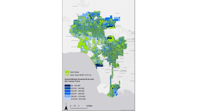
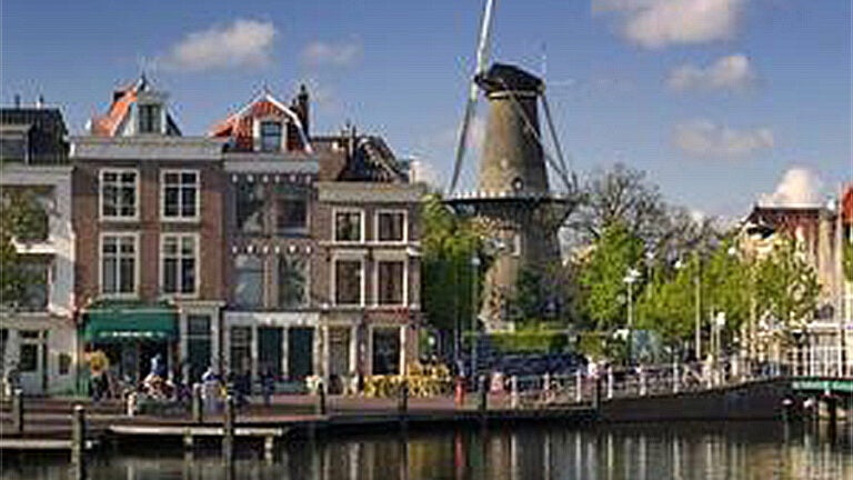
This course introduces students to the critical and spatial thinking skills of GeoDesign while engaged in both classroom and field settings in Los Angeles, California, and in the Netherlands, and to apply them in a capstone research project that proposes GeoDesign strategies to address a societal challenge in Los Angeles County.
SSCI 581: Concepts for Spatial Thinking
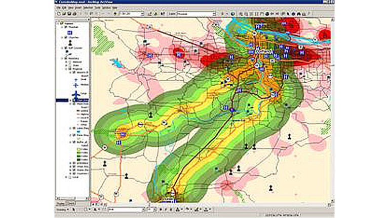
This course provides an introduction to geographic information science and the spatial and cartographic concepts underlying spatial thinking and the associated geospatial technologies. The course also provides “hands-on” experience using Esri’s ArcGIS platform to support various forms of spatial analysis, modeling and visualization.
SSCI 587: Spatial Data Acquisition
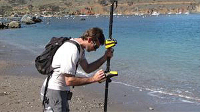
This course provides the knowledge and skills needed to source and evaluate data for use in GIS-based projects and to assess the quality of the information output from those projects. The course includes a one-week mapping excursion on Catalina Island in which students learn first-hand how the Esri and Trimble software platforms can be used to support spatial data acquisition, analysis, and visualization.
