Satisfies General Education Category F (Quantitative Reasoning)
Every day we rely on maps and spatial data. Our phones find the best route to school. Logistics software powered by GIS enables same-day deliveries of our favorite products. Public health authorities use spatial dashboards to show the changing patterns of COVID-19 in real time. Space has become a foundational organizing principle in our modern world. But how did it happen?
SSCI 135 explores spatial science from the ancient Greeks to the rapidly advancing field of modern GPS. Behind every well-made map is a thousand decisions. We will explore these choices through the lens of applied mathematics.
Topics include:
- Location and geodetic principles. Where are you?
- Impactful cartography. What do you want to say?
- Map projections. How do you make a flat map from a round globe?
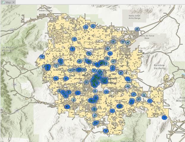
- Working with spatial data. How do you simplify a chaotic world into a useful model?
“In SSCI 135, I was first introduced to the basics of digital mapping which encouraged me to add my Human Security and Geospatial Intelligence minor. I really enjoyed how we used online mapping software to answer interesting questions, such as where the best location to site a new park would be by taking into account Census data. I hope to apply my knowledge of spatial sciences for a future career in law enforcement.”
Nate Goldstein, B.A. Political Science; Minor is Human Security and Geospatial Intelligence ’22

Active Learning
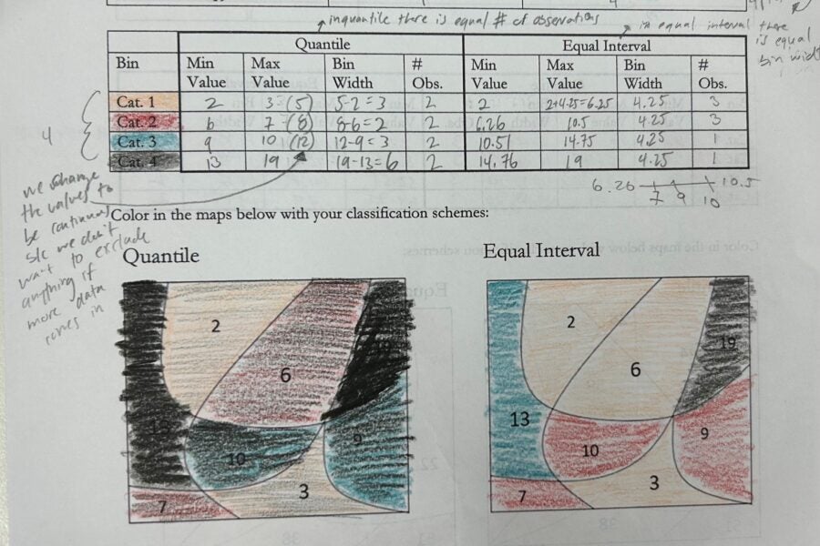
Through our class discussions and assignments, we delve into how numbers are used to construct maps of the world around us.
We’ll show you how to increase your capacity to evaluate chains of formal reasoning (the use of formal logic and mathematics), abstract representation (the use of symbolic and diagrammatic representations) and empirical analysis (the use of statistical inference).


